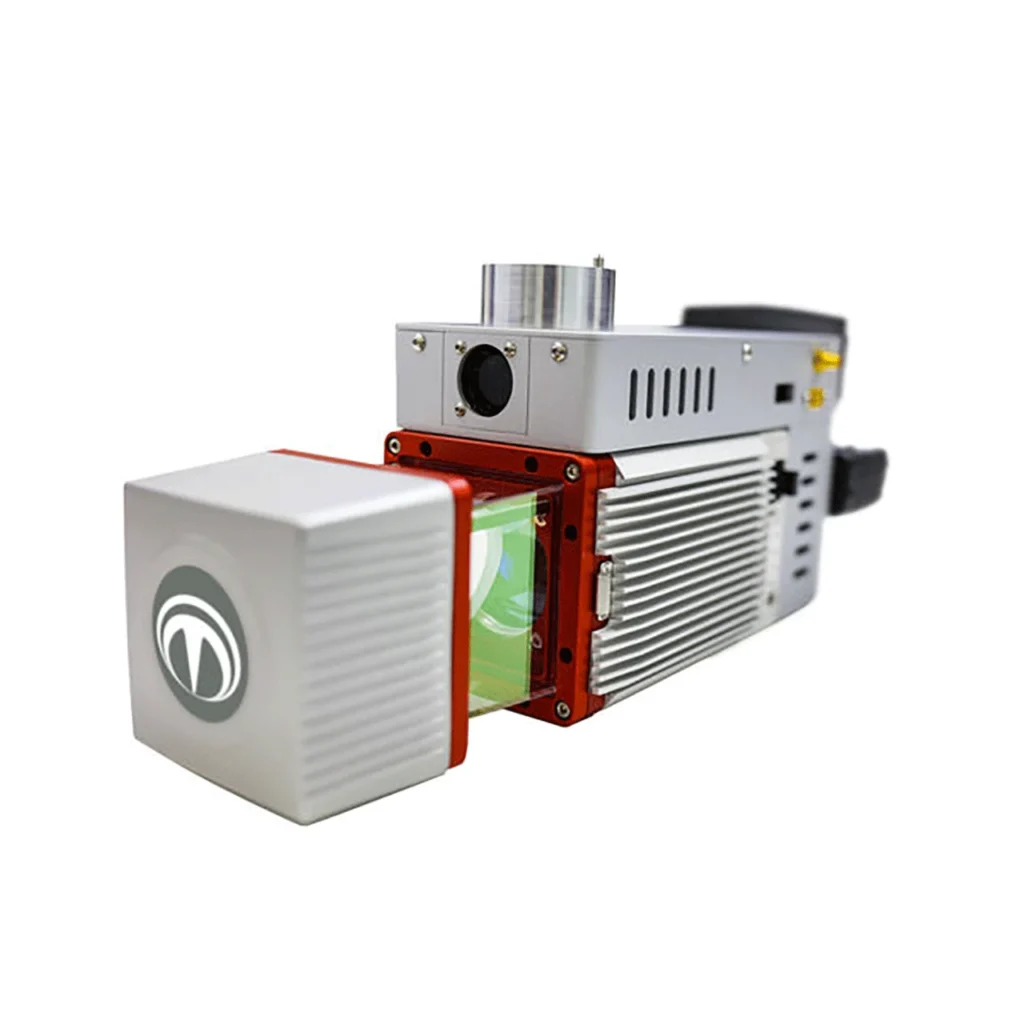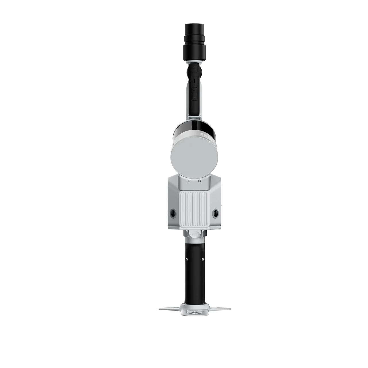
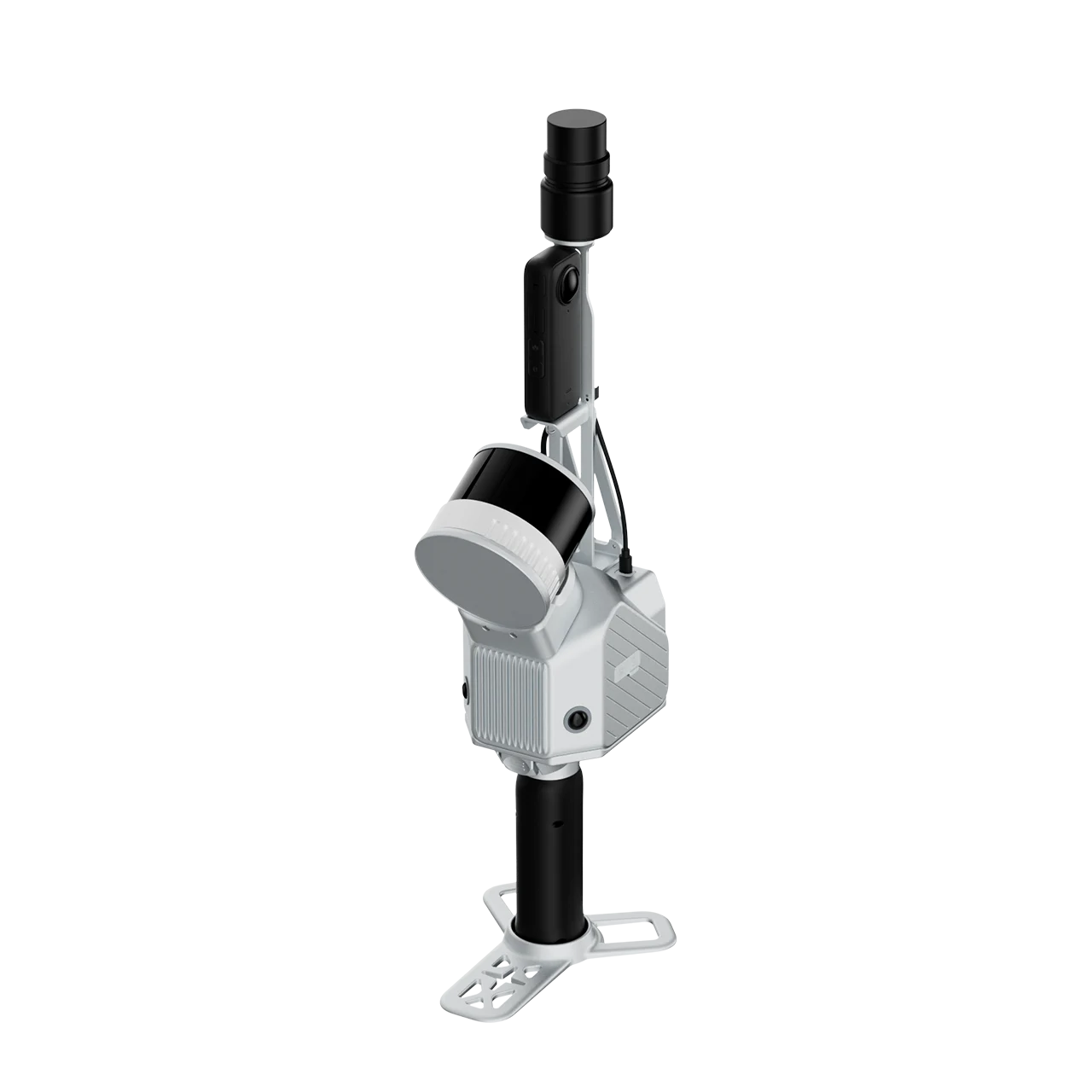
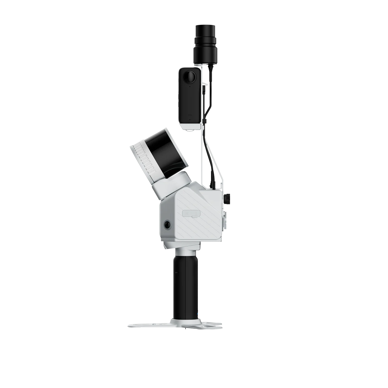
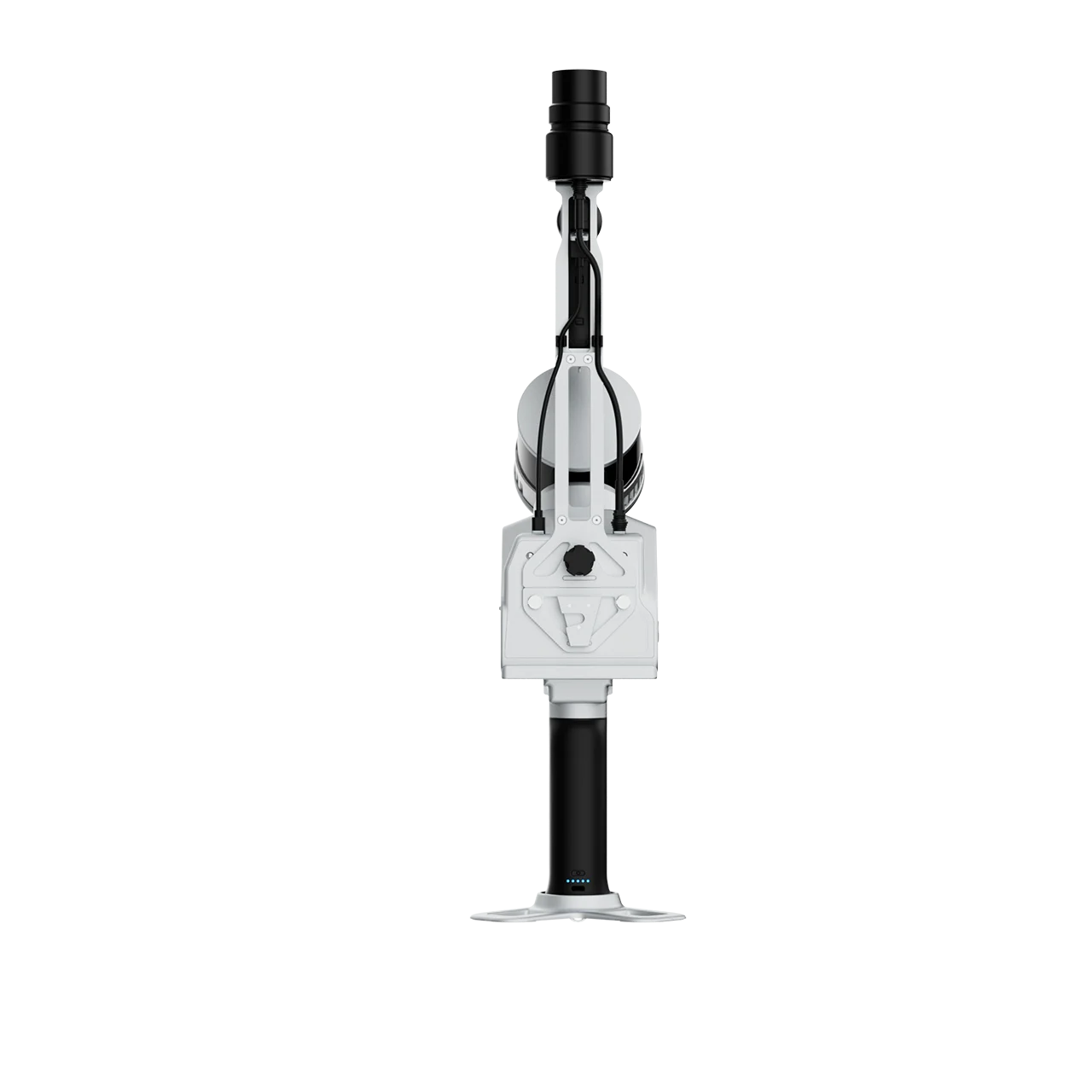
The FJD Trion S2 LIDAR Scanner boasts advanced VIO and SLAM algorithms for generating high-quality and reliable point clouds. Supporting over 8000 coordinate systems, the S2 eliminates the need for time-consuming manual coordinate conversions. By integrating with FJD Trion Scan and Model software and utilizing practical accessories like stabilizing vest, drone mount, car mount, and robot dog mount, the S2 enhances data capturing and processing efficiency for outdoor surveying projects.
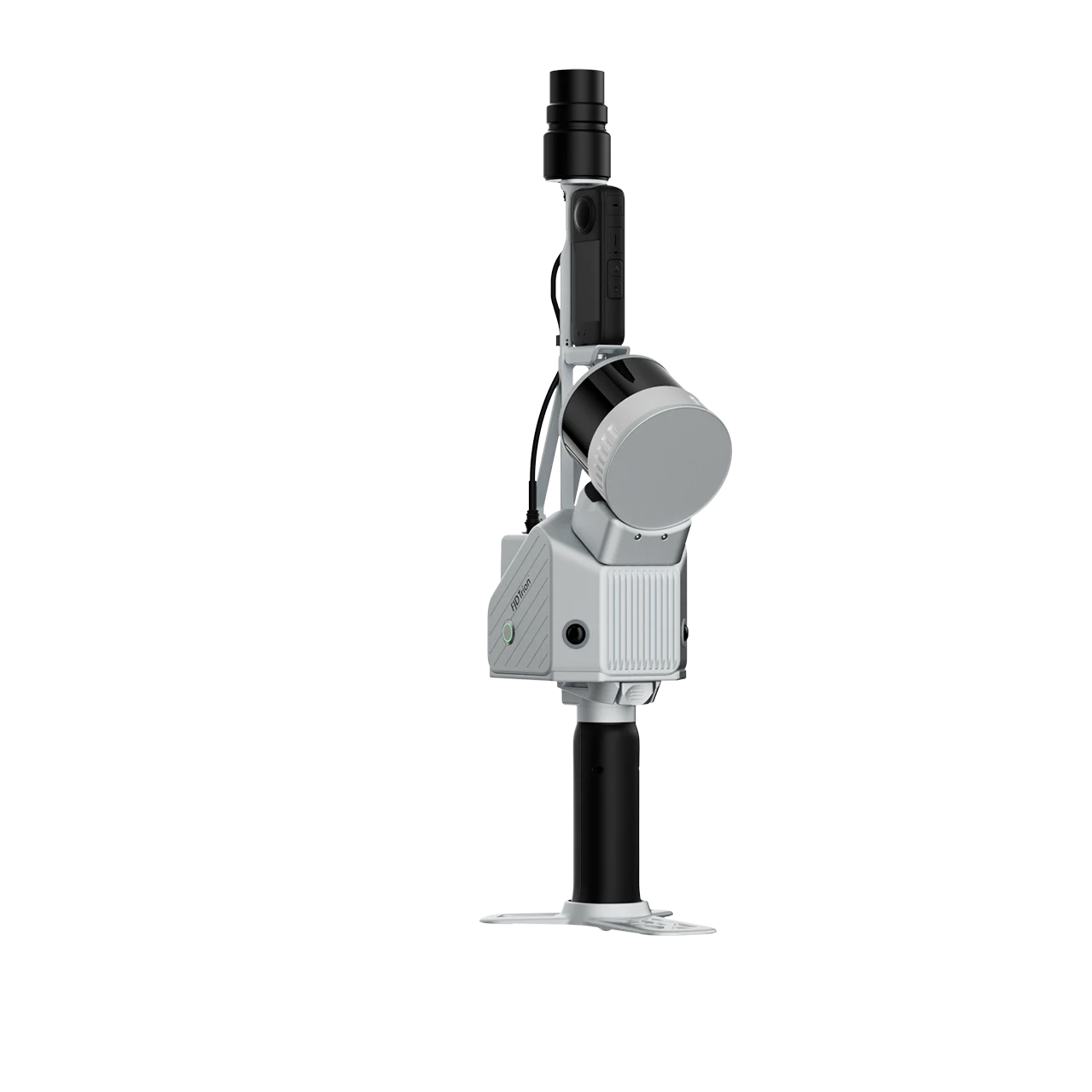
Multi-Module Integration
Integrate camera, IMU, and RTK modules into a compact form of 2kg in weight, allowing you to carry it around for various surveying projects.
Multi-SLAM Algorithms for Accurate Output
Embed two 12MP cameras to generate high-resolution images with advanced Visual-Inertial Odometry (VIO) and SLAM algorithms, delivering accurate results even in complex environments with fewer feature points.
Georeferenced Point Cloud
With an integrated RTK module, directly get georeferenced point clouds on the go. RTK & PPK support ensure accurate data collection in dense tree canopies and other signal-challenging areas. Plus, with over 8000 coordinate systems, no fear of tedious coordinate conversions anymore!