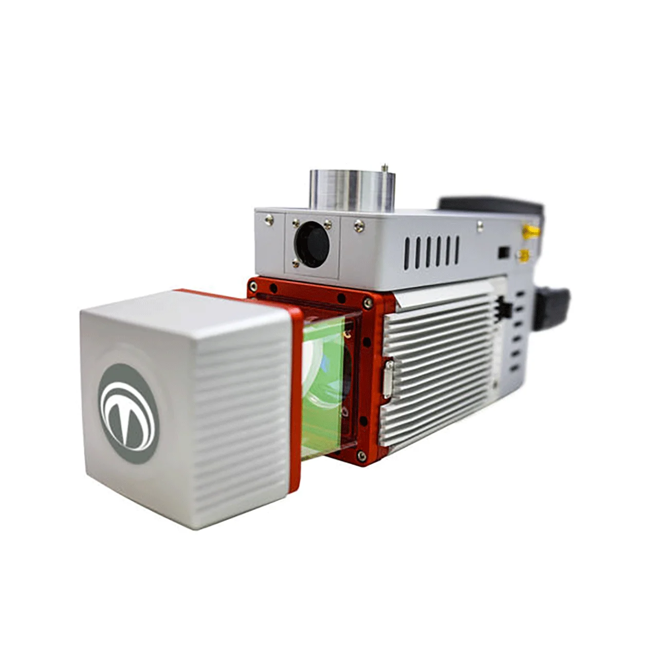
The Terra LiDAR X is one of Terra Drone’s proprietary LiDAR (Light Detection and Ranging) systems designed for medium- to long-range aerial surveying. It is part of the Terra LiDAR family (which also includes versions with Livox and Hesai sensors) and is optimized for high-precision topography surveys and 3D modeling.
Terra LiDAR X
Price upon request
*price includes VAT 15%
The Terra LiDAR X is one of Terra Drone’s proprietary LiDAR (Light Detection and Ranging) systems designed for medium- to long-range aerial surveying
Product Addons
| Sensor type | Equipped with a Riegl LiDAR sensor (renowned for survey-grade accuracy). |
|---|---|
| Range | Suitable for medium to long-range scanning, allowing coverage of wide areas. |
| Accuracy & Density | Generates high-precision point clouds with dense returns, useful for infrastructure and vegetation modeling. |
| Integration | Works with survey-grade IMU (Inertial Measurement Unit) and GNSS (Global Navigation Satellite System) for reliable georeferencing. |
Related Product
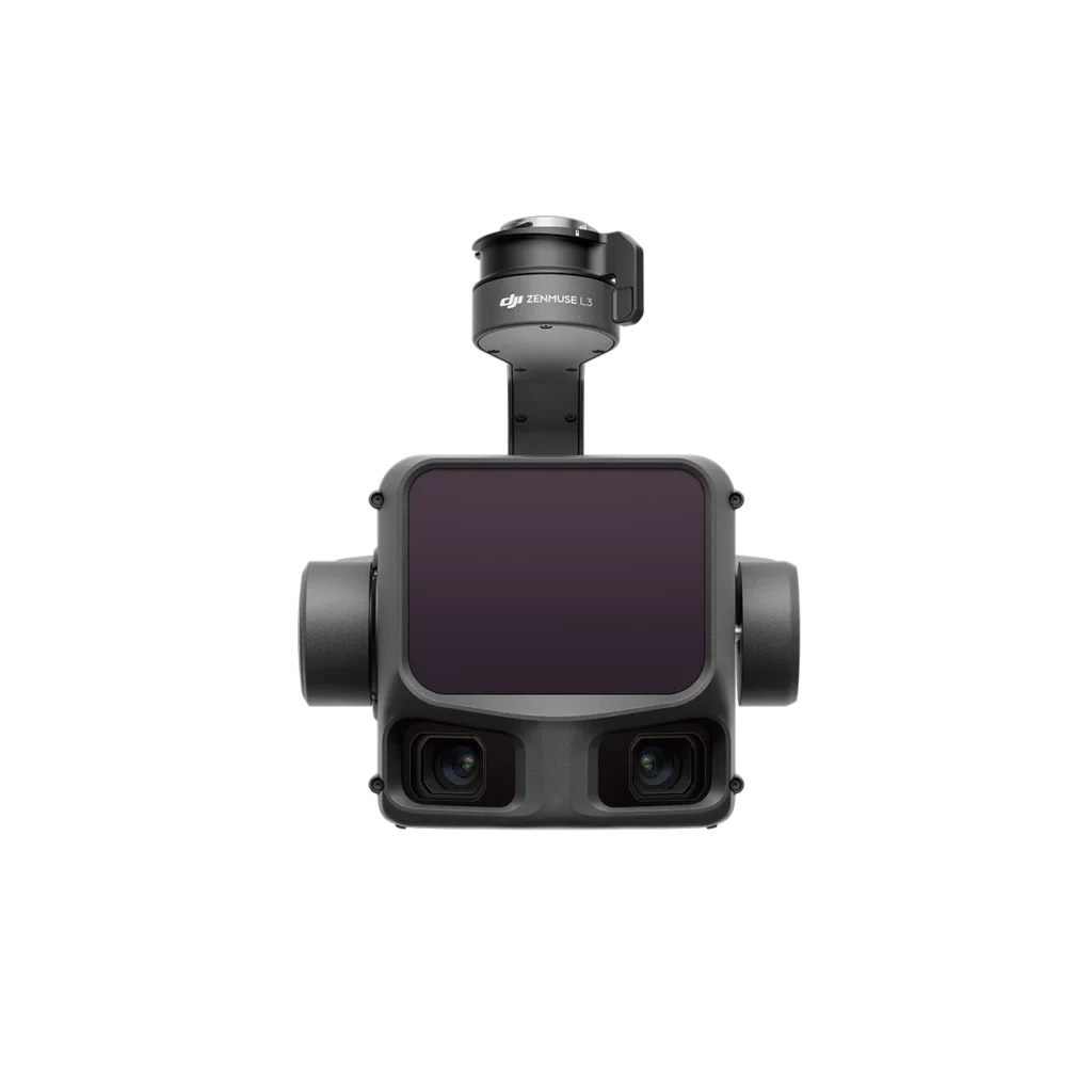
DJI Zenmuse L3
Price upon request
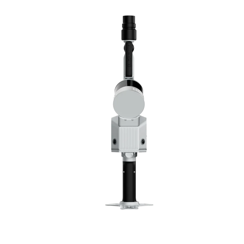
FJD Trion S2 Series
Price upon request
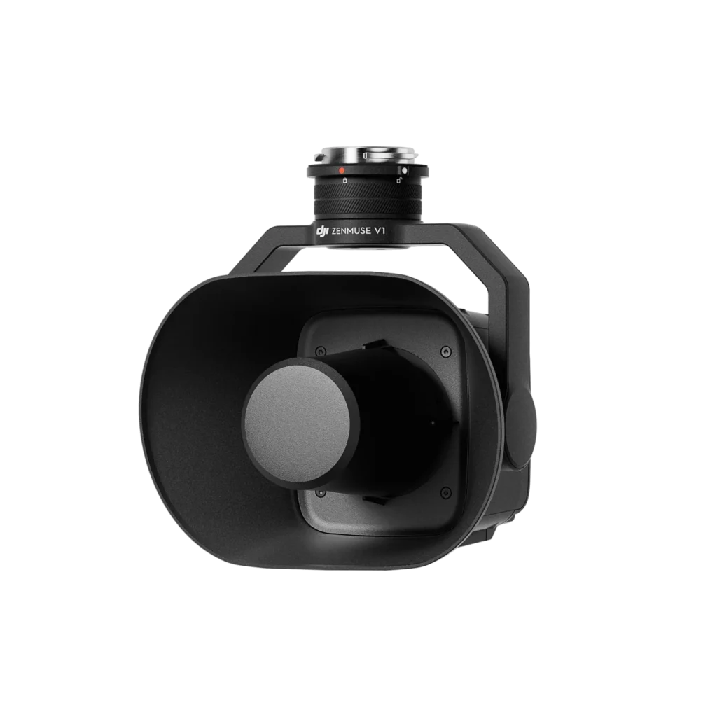
Zenmuse V1
Original price was: SAR 4,172.87.SAR 3,964.23Current price is: SAR 3,964.23.
Zenmuse H30T
Original price was: SAR 44,602.43.SAR 42,372.31Current price is: SAR 42,372.31.
