
ArcGIS Enterprise is an enterprise-grade GIS platform designed for organizations that require full control over their geospatial infrastructure, data governance, and system architecture. It provides comprehensive GIS capabilities within on-premise, private cloud, or hybrid environments, enabling secure and scalable geospatial operations aligned with enterprise IT and cybersecurity policies.
The platform is engineered to support mission-critical workflows, large-scale data processing, and long-term GIS system deployments.
Enterprise Data Control and Governance
At the core of ArcGIS Enterprise is its ability to host and manage authoritative geospatial data within organizational infrastructure. Spatial datasets—including vector data, raster imagery, LiDAR point clouds, elevation models, and real-time feeds—are stored in enterprise databases or managed storage systems fully controlled by the organization.
ArcGIS Enterprise integrates with enterprise identity management systems such as Active Directory or SAML-based authentication, enabling centralized user management and compliance with internal security policies. This makes the platform suitable for regulated industries and government entities where data sovereignty and access control are mandatory.
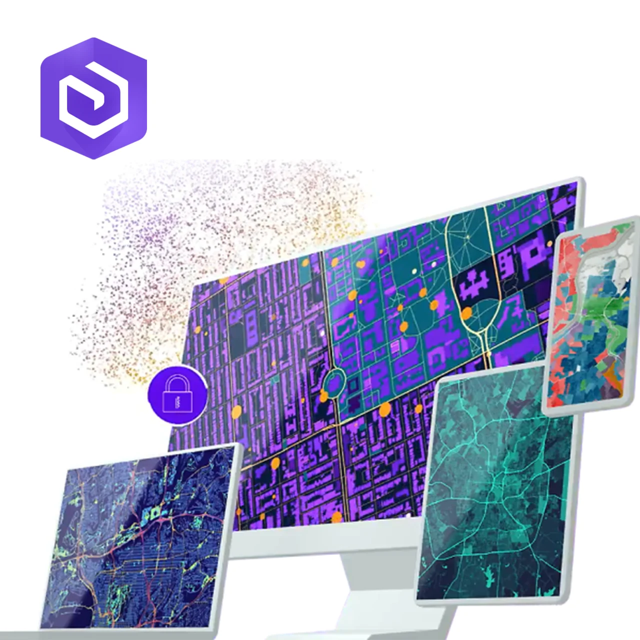
GIS Services and System Architecture
ArcGIS Enterprise operates on a service-oriented architecture, allowing organizations to publish GIS services for mapping, feature access, imagery processing, and geoprocessing. These services are consumed by web applications, desktop GIS software, mobile field tools, and external enterprise systems.
The platform supports modular and scalable system designs, enabling organizations to deploy single-server environments for smaller operations or distributed architectures with load balancing and redundancy for large-scale, high-availability systems.
Advanced Analytics and Large-Scale Processing
ArcGIS Enterprise supports advanced spatial analytics, raster analytics, and big data processing within controlled environments. Organizations can execute complex geoprocessing workflows such as network analysis, change detection, predictive modeling, suitability analysis, and spatial simulation at scale.
When integrated with high-performance computing or cloud infrastructure, ArcGIS Enterprise is capable of processing large drone datasets, LiDAR point clouds, and high-resolution satellite imagery while maintaining data security and performance consistency.
Visualization, Applications, and Digital Twins
The platform enables the creation of enterprise-hosted web maps, dashboards, and 3D scenes that support operational monitoring and strategic planning. Because applications are hosted internally, organizations can develop custom GIS applications tailored to specific workflows, such as infrastructure inspection, utilities management, or industrial asset monitoring.
ArcGIS Enterprise plays a key role in digital twin implementations by serving as the spatial backbone that integrates drone data, BIM models, sensor feeds, and operational databases into a unified geospatial framework.
Reliability, High Availability, and Mission-Critical Use
ArcGIS Enterprise is designed to meet high availability and disaster recovery requirements. It supports clustering, failover, load balancing, and redundant deployments to ensure system continuity. These capabilities make it suitable for emergency response systems, national infrastructure management, and industrial operations where downtime is unacceptable.
Deployment Context and Typical Use Cases
ArcGIS Enterprise is best suited for organizations that require long-term GIS platforms, deep system integration, strict security controls, and scalable performance. It is commonly deployed in government agencies, oil and gas operations, utilities, large infrastructure programs, and organizations building enterprise digital twins.