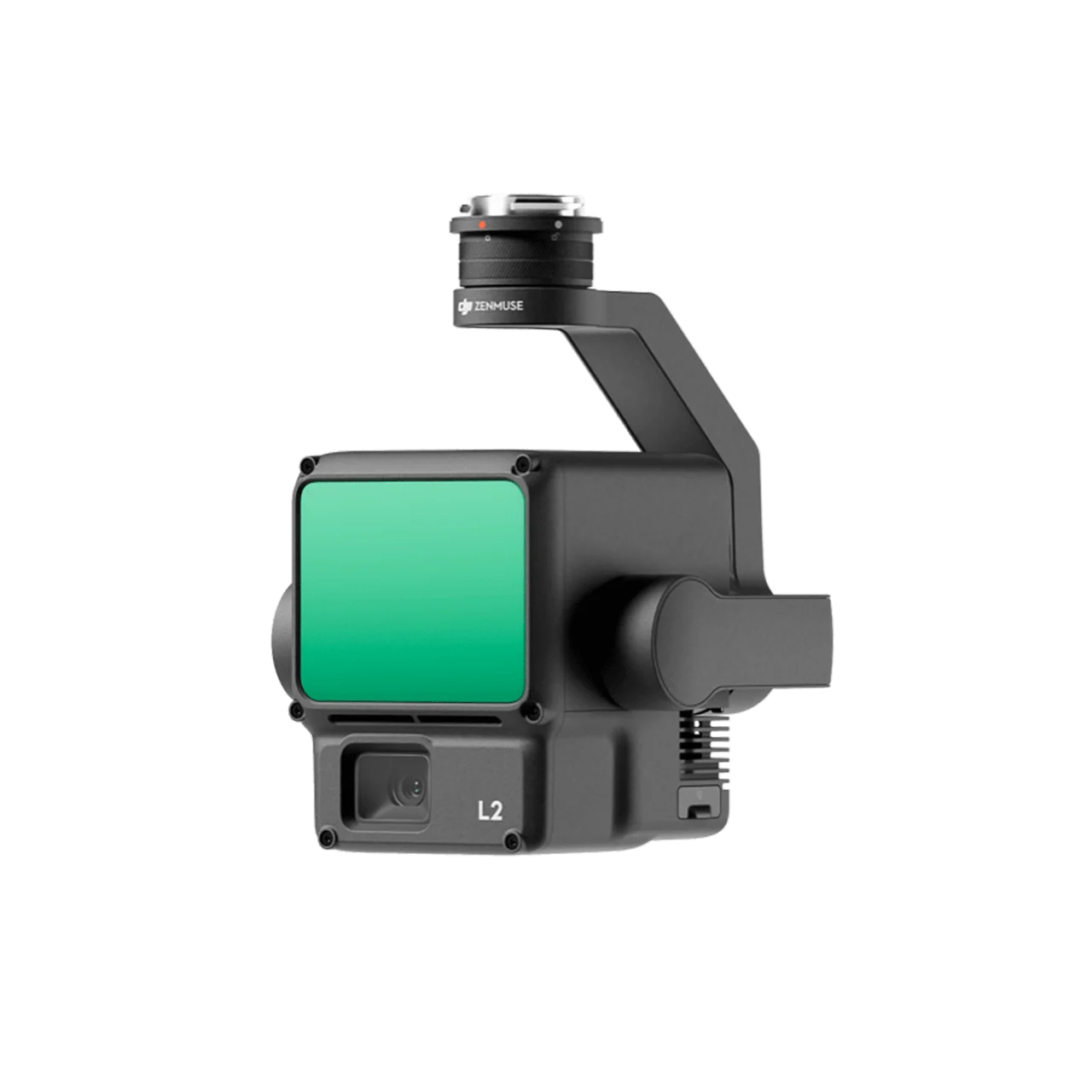
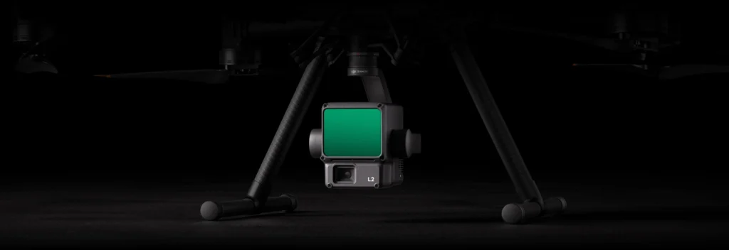
DJI Zenmuse L2 is a high-precision aerial LiDAR system integrating a frame LiDAR, a self-developed high-accuracy IMU system, and a 4/3 CMOS RGB mapping camera, delivering DJI flight platforms with more precise, efficient, and reliable geospatial data acquisition. Achieving 4 cm vertical accuracy and 5 cm horizontal accuracy, covering 2.5 km² in a single flight, and detecting targets up to 450 meters away, the Zenmuse L2 provides a complete turnkey solution for 3D data collection and high-accuracy post-processing when used with DJI Terra.
Frame LiDAR – Powerful Range, Elevated Precision
30% Detection Range Increase
- 250m @10% Reflectivity, 100klx – Reliable detection under bright daylight conditions
- 450m @50% Reflectivity, 0klx – Maximum detection range in zero ambient light environments
- Typical Operational Altitude up to 120m – Significantly enhances both operational safety and efficiency
Smaller Laser Spots, Denser Point Clouds
With a reduced spot size of 4×12 cm @100m — just one-fifth the size of L1 — the Zenmuse L2 detects smaller objects with greater detail and penetrates denser vegetation more effectively, producing more accurate Digital Elevation Models (DEM).
5 Returns & 240,000 pts/s Effective Point Cloud Rate
- 5 Returns Supported – Captures more ground points beneath heavy forest canopies
- 240,000 Points/Second – Maximum point cloud emission rate in both single and multiple return modes
- Up to 100% Effective Point Cloud Data Rate – Frame-based design maximizes data density capture
Two Scanning Modes for Flexible Operations
- Repetitive Scanning Mode – Delivers more uniform and accurate point clouds for high-precision mapping requirements
- Non-Repetitive Scanning Mode – Provides deeper penetration for structural information, ideal for power line inspection and forestry surveying
Frame-Based Design
The frame-based design achieves an effective point cloud data rate of up to 100%. Combined with a three-axis gimbal stabilization system, it unlocks greater possibilities across complex surveying scenarios.
High-Level Precision – Professional-Grade Accuracy
Industry-Leading Geospatial Accuracy
- Vertical Accuracy: 4 cm – Achieved through the fusion of GNSS and DJI’s self-developed high-accuracy IMU
- Horizontal Accuracy: 5 cm – Professional standard for large-scale mapping and survey projects
- Three-Axis Gimbal Stabilization – Maintains sensor stability under all flight conditions
High-Accuracy IMU System – No Warm-Up Required
The Zenmuse L2 IMU system is ready to use the moment it’s powered on. The accompanying drone is ready to begin tasks immediately once RTK reaches FIX status, delivering a significantly optimized field experience with no delays.
Exceptional Efficiency – More Data, Less Time
Wide Area Coverage in a Single Flight
- 2.5 km² per Flight – Simultaneous collection of geospatial and RGB data in one mission
- Instant Readiness – No warm-up required; operational immediately upon power-on
- Power Line Follow – Intelligent recognition algorithm for identification, tracking, and junction analysis of transmission and distribution lines, enabling semi-automatic flight and data collection
- Diverse Flight Route Types – Multiple automated route options for varying mission scenarios
4/3 CMOS RGB Mapping Camera
Richer Imaging, Sharper True-Color Point Cloud Detail
- 4/3 CMOS, Mechanical Shutter – Superior image quality for visible light mapping
- 20MP Effective Pixels – Enlarged pixel size of 3.3 μm for significantly improved overall imaging performance
- 0.7-Second Minimum Photo Interval – Rapid capture capability for efficient large-area coverage
- Up to 200,000 Shutter Count – Extended lifespan to reduce long-term operational costs
- Dual Operation Mode – RGB camera can independently capture photos, videos, or visible light mapping images when LiDAR collection is not required
Turnkey Solution – Simplified End-to-End Operations
Point Cloud LiveView & On-Site Post-Processing
- Point Cloud LiveView – Real-time preview of point cloud models during flight
- Point Cloud Model Playback & Merging – Review and merge models on-site without returning to the office
- One-Click Processing on DJI Terra – High-accuracy post-processing completed with a single click
- Auto-Generated Task Quality Report – Automatic quality reports from DJI Terra for immediate on-site evaluation
- PPK Solution – Post-Processing Kinematic support for maximum positional accuracy
Platform & Software Compatibility
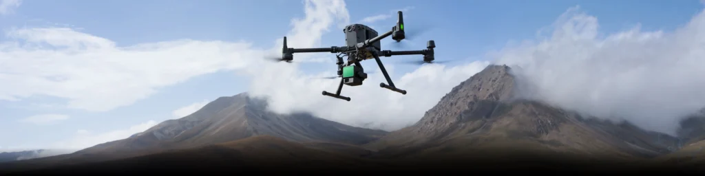
- DJI Matrice 350 RTK / Matrice 400 – Recommended DJI enterprise drone platforms
- DJI Terra – Mapping software for data processing and 3D model visualization
- DJI Modify – Advanced 3D model editing and analysis
Application Scenarios
- Land Surveying & Mapping – High-precision land mapping with dense point clouds and centimeter-level accuracy
- Electricity Management – Transmission and distribution line inspection with semi-automatic Power Line Follow
- Forestry Management – Deep canopy penetration for forestry surveys and accurate DEM generation
- Infrastructure Management – Monitoring and documentation of roads, bridges, and structures
- Power Line Inspection – Non-repetitive scanning mode for in-depth structural information capture