
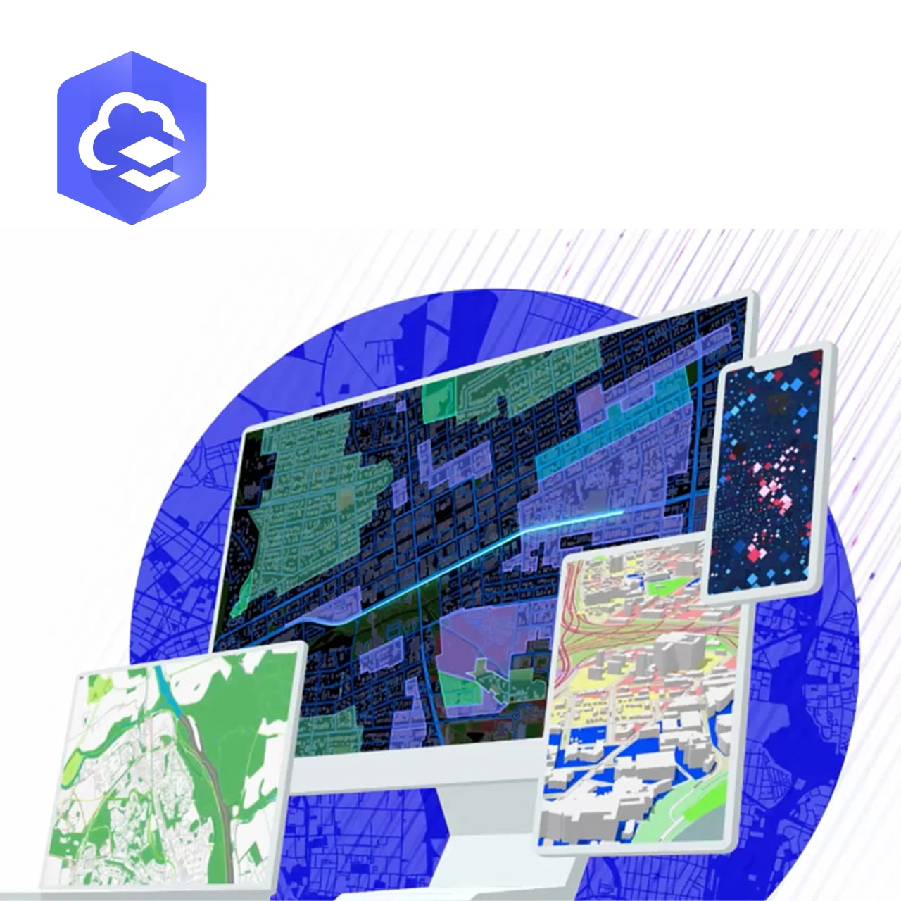
ArcGIS Online is a cloud-native geographic information system (GIS) platform that provides organizations with immediate access to mapping, spatial analytics, and geospatial data sharing capabilities without the need for on-premise infrastructure. Delivered as a Software-as-a-Service (SaaS) solution, ArcGIS Online enables users to deploy GIS workflows rapidly while leveraging Esri-managed cloud infrastructure for scalability, availability, and security.
The platform is designed to serve as both a collaborative GIS workspace and a spatial data dissemination environment, supporting operational monitoring, planning, and decision-making across multiple sectors.
Data Management and Hosting
ArcGIS Online functions as a centralized geospatial data repository where users can host, manage, and organize spatial datasets, including vector layers, raster imagery, tabular data, and web services. Data can be uploaded directly, synchronized from field applications, streamed from real-time sensors, or integrated via APIs from external systems.
Role-based access control and content-sharing policies allow organizations to manage who can view, edit, or publish data. This ensures data integrity while enabling collaboration across internal teams, external consultants, and stakeholders. ArcGIS Online is particularly effective for projects requiring rapid data sharing and frequent updates, such as construction monitoring, environmental assessments, and asset inspections.
Visualization and Web Applications
One of the core strengths of ArcGIS Online is its ability to transform geospatial data into interactive visual outputs. Users can create web maps, dashboards, 2D and 3D scenes, and configurable GIS applications directly within a browser environment. These visual tools support operational awareness by presenting complex spatial information in an intuitive and accessible format.
Dashboards can be configured to display live metrics, inspection results, asset status, environmental indicators, or progress tracking, making ArcGIS Online suitable for both operational teams and management-level reporting.
Spatial Analysis and Cloud Processing
ArcGIS Online provides a suite of built-in spatial analysis tools that operate entirely in the cloud. These tools support proximity analysis, overlay operations, suitability modeling, raster analytics, and basic network analysis. Cloud-based execution removes the dependency on local computing power, allowing users to process large datasets efficiently.
This capability is particularly valuable when working with drone-derived orthomosaics, elevation models, and environmental datasets, where fast processing and accessibility are more critical than deep system customization.
Field Operations and Real-Time Integration
ArcGIS Online integrates natively with mobile GIS and field data collection applications, enabling field teams to collect georeferenced data using smartphones, tablets, or survey-grade devices. Collected data is synchronized in near real time with the cloud platform, reducing manual workflows and improving data accuracy.
In addition, ArcGIS Online supports real-time data feeds, allowing organizations to monitor dynamic assets, environmental conditions, or operational activities as they occur.
Deployment Context and Typical Use Cases
ArcGIS Online is best suited for organizations seeking rapid GIS deployment, minimal IT overhead, and scalable collaboration. It is commonly used for operational dashboards, field data collection, public-facing maps, and short- to medium-term projects where flexibility and accessibility are priorities.