FJDynamics
FJD Trion V100F
Price upon request
Overview
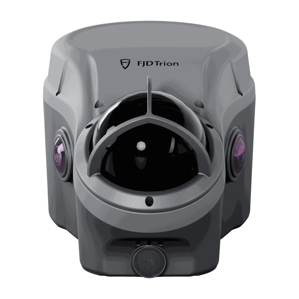
Integrated GNSS and LiDAR capture system: combines GNSS surveying, 3D LiDAR scanning, cameras and IMU in one device, for capture in open, obstructed and GNSS-limited environments.
Specifications
Specifications
| RTK accuracy | H: 8 mm + 1 ppm RMS; V: 15 mm + 1 ppm RMS |
|---|---|
| RTK accuracy with tilt compensation | RMS: 8 mm + 0.6 mm/° tilt; Tilt angle: 0 to 60° |
| LiDAR range | 40 m @ 10% reflectivity; 60 m @ 80% reflectivity |
| LiDAR field of view (FOV) | H 360° × V 62° |
| LiDAR survey accuracy | Typical accuracy: ±5 cm @ 20 m |
| Cameras | Surveying camera × 1: 12 MP; Colour camera × 2: 12 MP; Bottom camera × 1: 2 MP |
| Built-in UHF radio | Rx/Tx: 410–470 MHz / 902–928 MHz; Transmit power: 2 W; Range: typically 6–12 km; up to 16 km under optimal conditions |
| Data storage | 450 GB internal storage |
| Ingress protection | IP65 |
| Weight | 1.75 kg |