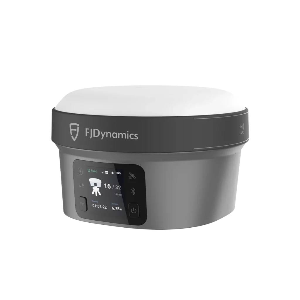
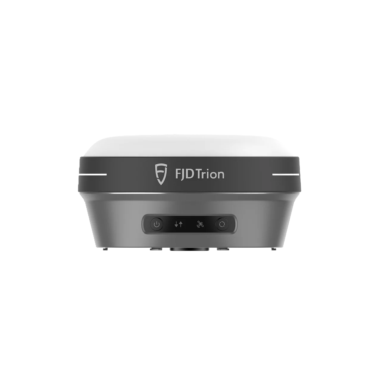
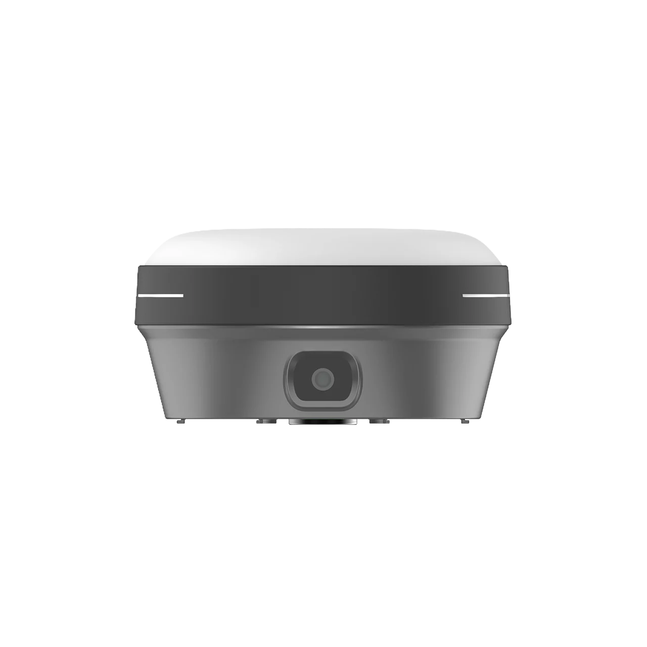

FJD Trion V10a is a compact GNSS receiver with AR visual stakeout guidance, integrating 1408-channel multi-constellation satellite tracking, 60° tilt compensation, dual 5MP cameras, built-in 4G modem, and UHF radio — all within an ultra-lightweight 800g body (Φ130 × 68 mm). Delivering H: 8mm + 1ppm RTK accuracy with sub-5-second initialization, IP68 waterproof protection, and up to 15 hours of rover operation, the V10a combines mixed reality CAD overlay with precise GNSS positioning to streamline stakeout, surveying, and construction workflows.
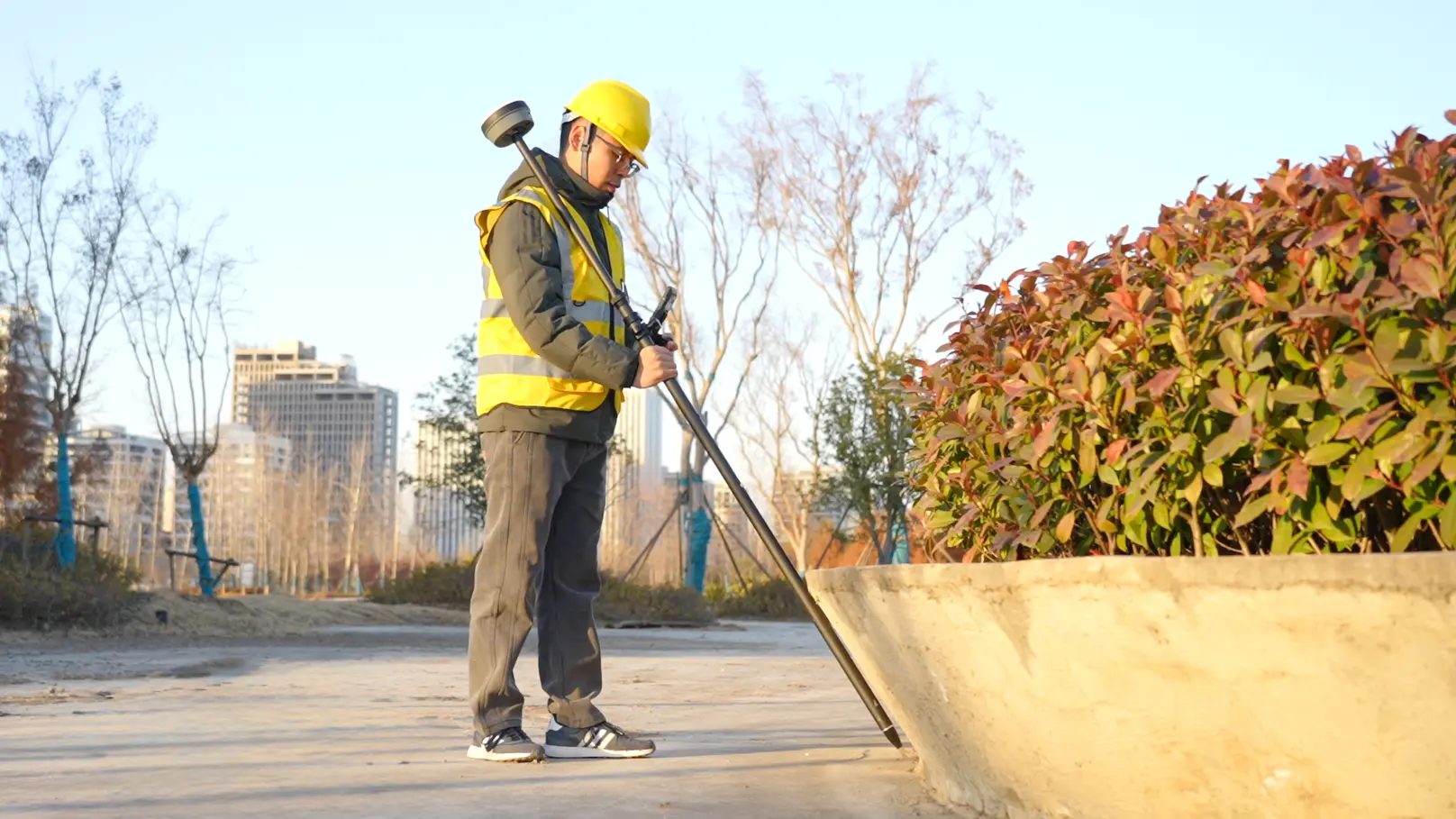
AR Stakeout Guidance – See More, Worry Less
Visualization with Precise Measurements
Powered by a 4-core processor and multi-engine algorithm, the FJD Trion V10a delivers smooth AR stakeout visualization, allowing field operators to follow visual guidance for accurate point staking. Mixed reality technology superimposes CAD drawings onto the real-world view, enabling construction personnel to preview and evaluate design schemes on-site — ensuring quality and safety at every stage.
Compact, But Powerful – Extensive Connectivity
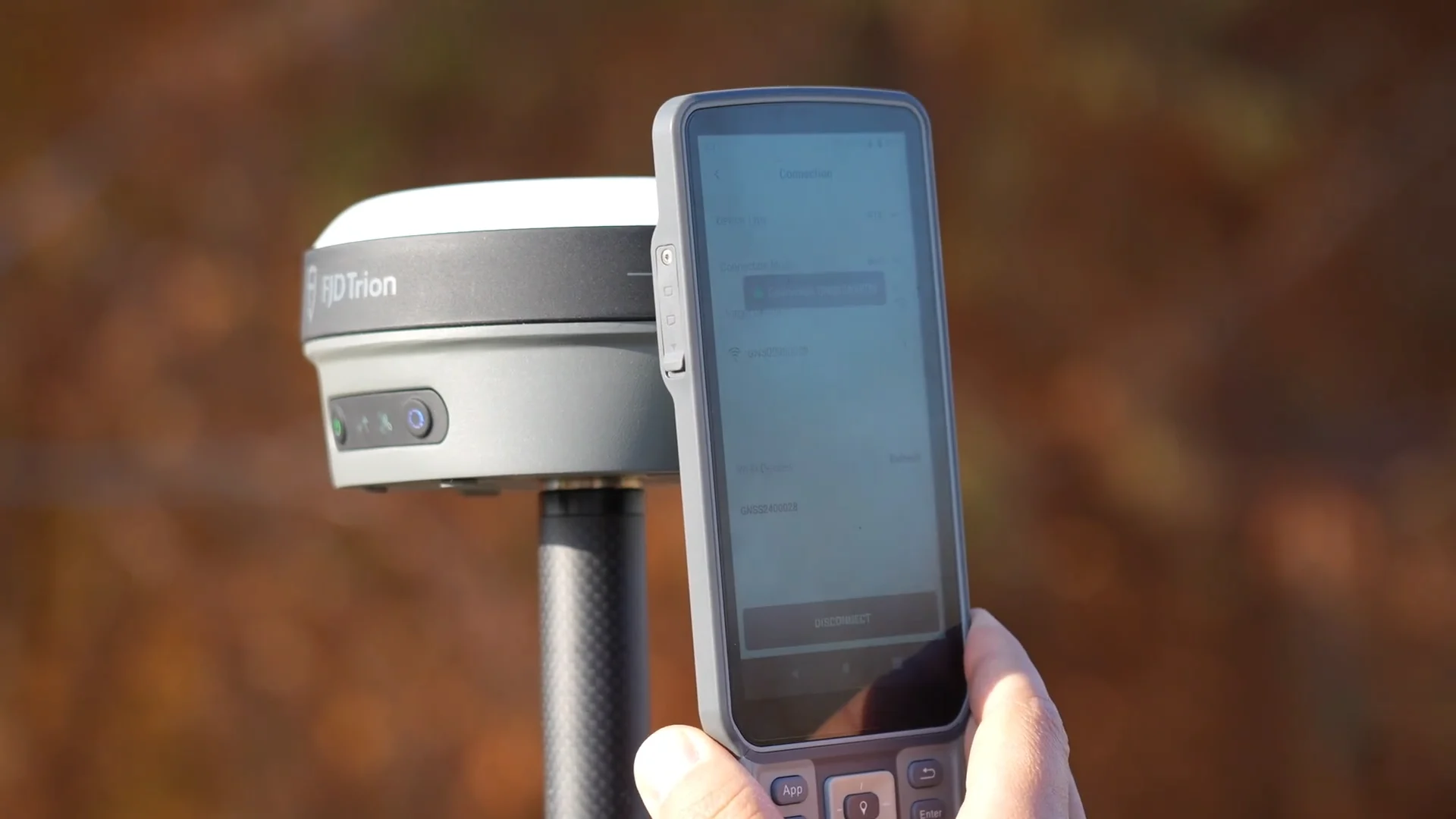
- Wi-Fi (2.4 & 5 GHz, 802.11a/b/g/n/ac) – High-speed wireless data transfer
- Bluetooth & One-Tap NFC Pairing – Instant device connection in the field
- Built-in 4G Modem – TDD-LTE, FDD-LTE, WCDMA, GPRS, GSM/EDGE for universal cellular connectivity
- Built-in UHF Radio (Rx/Tx) – 410–470 MHz / 902–928 MHz, up to 2W power, 6–12 km typical range
- 7-pin LEMO Port + USB Type-C – External radio and wired data connection options
- 32 GB Internal Storage – Ample capacity for extended field sessions
60° Tilt Compensation for Precise Measurement
The V10a allows tilt surveys up to 60° by automatically compensating the tilted angle — delivering RTK-grade accuracy of 2.5 cm at 30° tilt even when the survey pole isn’t held perfectly straight, dramatically speeding up field measurement in obstructed or uneven terrain.
1408-Channel Multi-Constellation GNSS Tracking
- GPS: L1C/A, L1C, L2C, L2P, L5
- GLONASS: L1, L2
- BeiDou: B1I, B2I, B3I, B1C, B2a, B2b
- Galileo: E1, E5a, E5b, E6
- QZSS: L1, L2C, L5, L6
- IRNSS, SBAS: Support via firmware upgrade
- PPP: E6 (±20 cm H / ±40 cm V)
Professional-Grade Positioning Accuracy
- RTK: H: 8mm + 1ppm / V: 15mm + 1ppm RMS — Initialization <5s, reliability >99.9%
- Post-Processing Static: H: 2.5mm + 0.5ppm / V: 5mm + 0.5ppm RMS
- Code Differential: H: 0.4m / V: 0.8m RMS
- Positioning Rate: 1 Hz, 5 Hz, 10 Hz
Built Tough, Engineered for Extremes
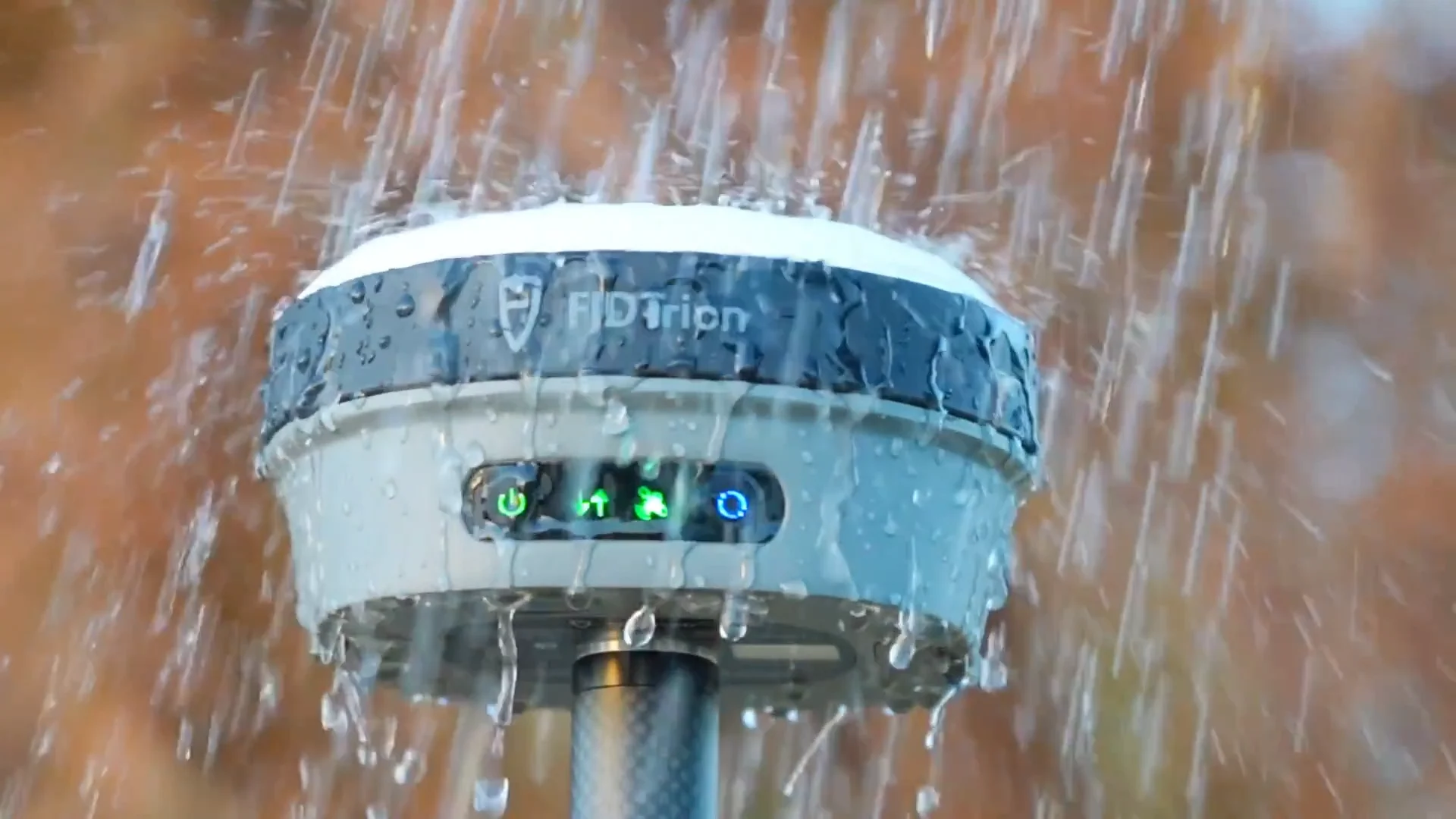
- IP68 Ingress Protection – Dustproof, protected from continuous immersion to 1 meter depth
- -35°C to 65°C Operating Temperature – Reliable performance in the harshest outdoor conditions
- 2-Meter Pole-Drop Survivability – Designed to withstand accidental falls in the field
- Lightweight Alloy Body – Magnetic interference resistant with stable satellite reception in obstructed areas
- Only 800g / Φ130 × 68 mm – 18% smaller and 15% lighter than previous models; one-hand portable
All-Day Battery & Fast Charging
- 4,900 mAh Built-in Battery – 7.4V Li-ion with 30W PD Fast Charge
- 15 Hours Rover / 10 Hours Base / 25+ Hours Static – Full-day operation without recharging
- 9–28V DC External Power Input – Extended operation via external source
Dual Camera System
- Forward Camera: 5MP – For AR stakeout visualization and scene documentation
- Downward Camera: 5MP – Ground reference capture for visual positioning
- 83° Field of View – Wide-angle coverage for comprehensive visual guidance
Application Scenarios
- Cadastral Survey – Precise boundary delineation with RTK and AR visualization
- Construction Stakeout – AR CAD overlay for on-site design verification and point staking
- Topographic Survey – High-accuracy terrain data collection with tilt compensation
- River & Coastline Mapping – IP68 waterproof design for wet-environment surveying
- Bridges & Roads – Infrastructure layout and as-built verification
- Utility Infrastructure – Underground and overhead utility mapping and stakeout