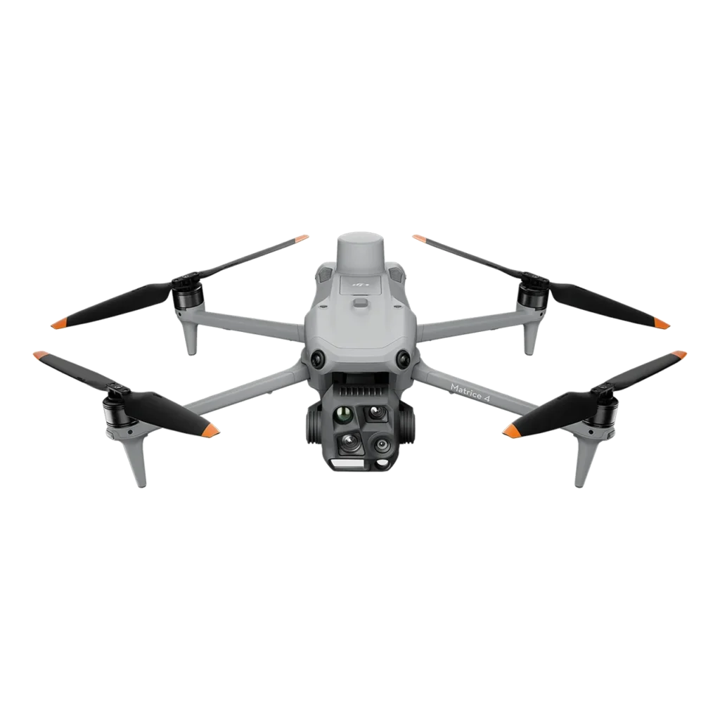
The DJI Matrice 4E offers a powerful yet lightweight solution for first responders, utility inspections, and geospatial data collection. With an advanced visual sensor suite and extended flight capabilities, it is optimized for fast deployment and efficient mission completion in diverse environments.
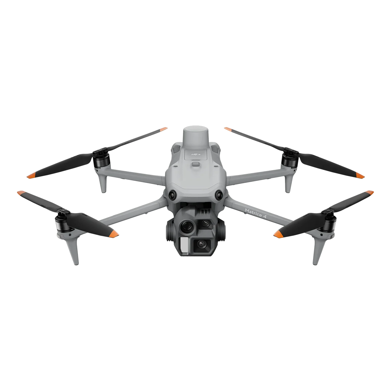
DJI Matrice 4E
SAR 21,880.00
*price includes VAT 15%
The DJI Matrice 4E is a high-precision enterprise drone built for surveying, mapping, and construction. It delivers reliable geospatial data collection with enhanced efficiency and accuracy.
Product Addons
| Max Flight Time | ~49 min |
|---|---|
| Max Takeoff Weight | ~1.42 kg |
| Standard Weight | ~1.22 kg |
| Dimensions (Unfolded) | 307×387.5×149.5 mm |
| Dimensions (Folded) | 260.6×113.7×138.4 mm |
| Max Speed | 21 m/s |
| GNSS | GPS, Galileo, BeiDou, GLONASS |
| Transmission Range | 20 km (FCC) |
| Camera Type | Triple-camera system |
| Wide Camera | 4/3″ CMOS, 20 MP, 24 mm |
| Tele Camera | 1/1.3″ CMOS, 48 MP |
| ISO Range | 100–25600 |
| Shutter Speed | 1/8000 s |
| Photo Resolution | 8064×6048 |
| Video Resolution | 4K @ 30 fps |
| Obstacle Avoidance | Omnidirectional + bottom IR |
| Operating Temperature | –10 °C to 40 °C |
Related Product

DJI Matrice 4TD
SAR 20,621.00
DJI Matrice 4D
SAR 100.66
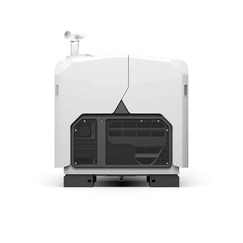
DJI Dock 3 + DJI Matrice 4D
SAR 100,660.00
DJI Matrice 4T
SAR 30,720.00